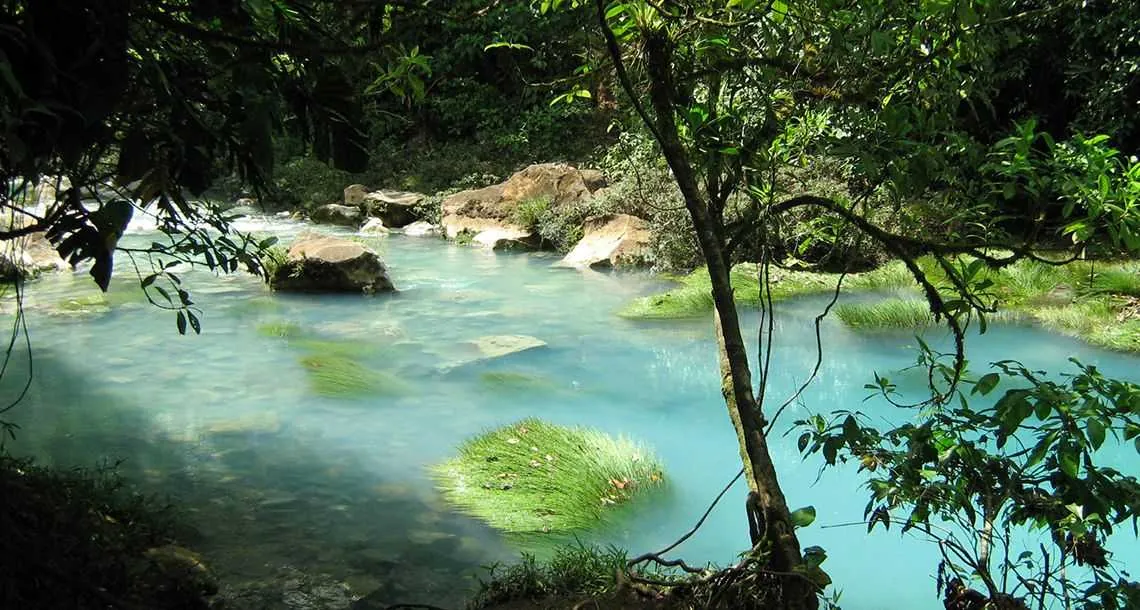
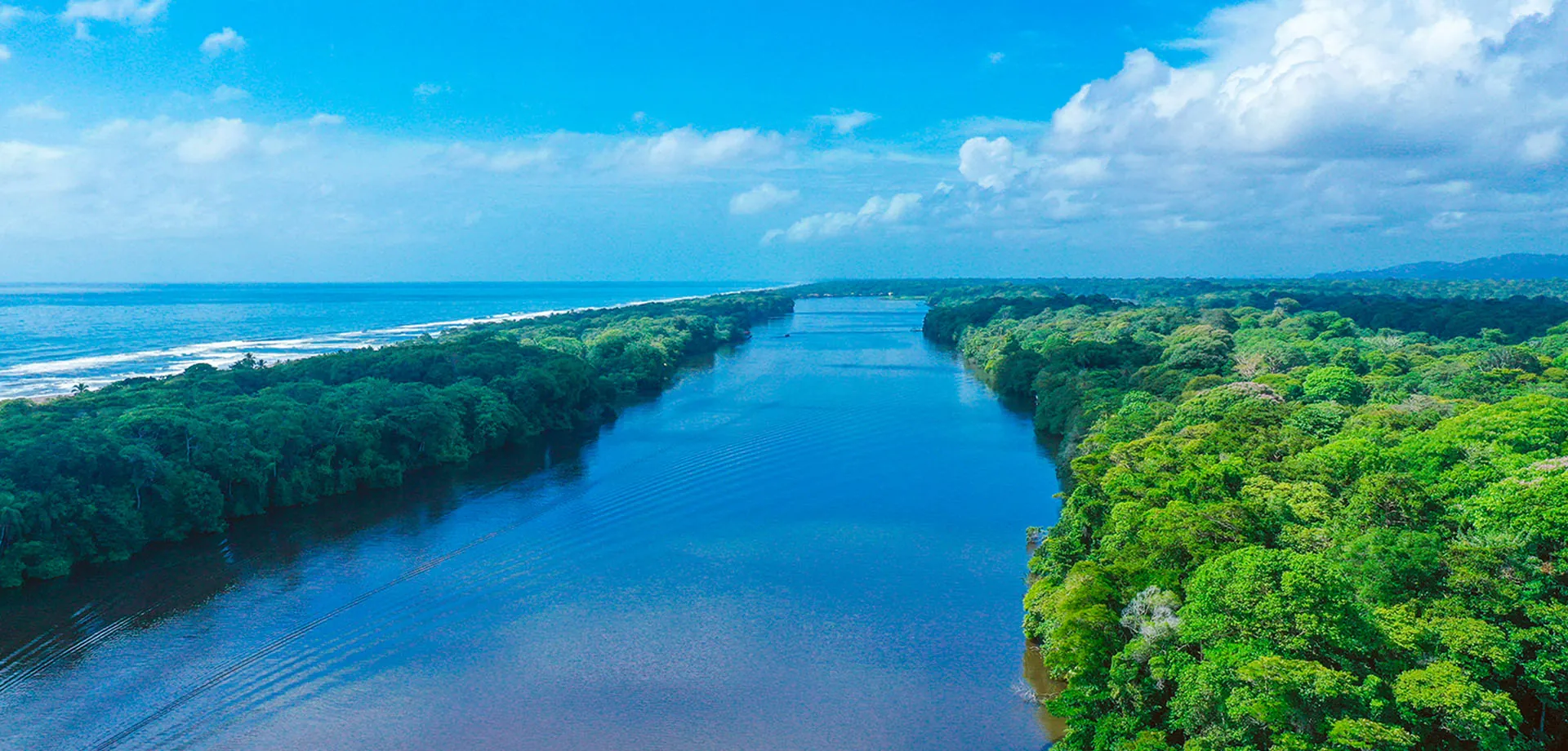
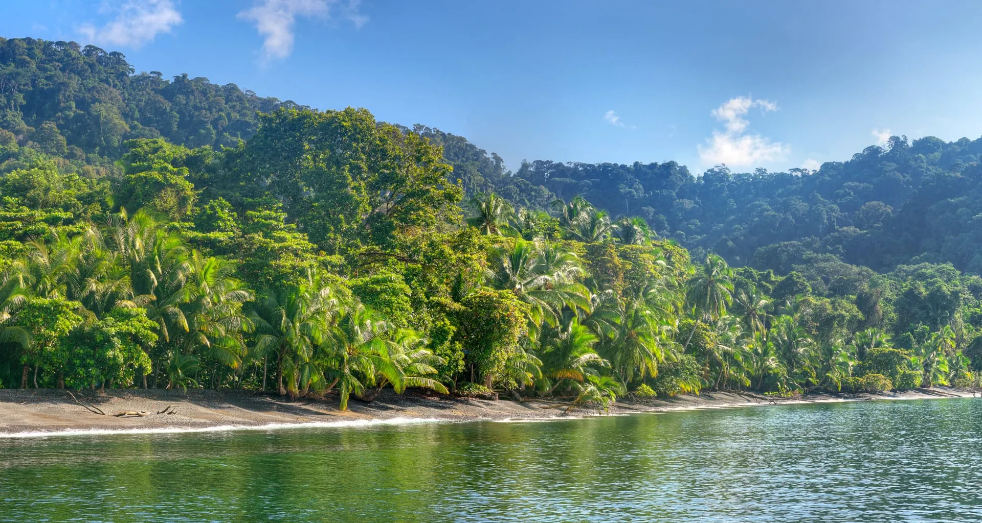
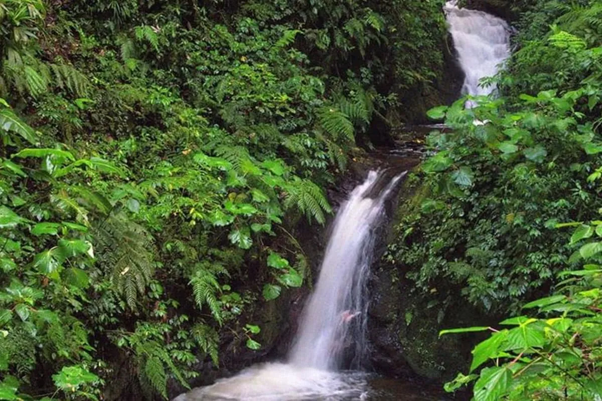
Costa Rica’s most remarkable feature isn’t simply that it’s green. Travel from a sunburned Guanacaste hillside to the misty ridges of Monteverde, then down to the drenched forests of the Caribbean, and the landscapes seem to belong to different countries. On the southern Pacific, rainforest trees lean over beaches. In the high Talamanca mountains, shrubs and grasses replace the lowland canopy. Along the coast, mangrove roots shelter a world shaped by the tides.
That variety is why Costa Rica rewards nature travelers so well. Animals, plants, weather and the feel of the landscape all shift with rainfall, altitude, soil and distance from the sea. Understanding the ecosystems before you choose an eco-lodge helps you build a far more interesting trip.
Why a small country has so many habitats
Costa Rica sits between two oceans and is crossed by volcanic and mountain ranges that climb from sea level to 3,820 meters at the summit of Chirripó, the highest point in the country according to SINAC. Moist Caribbean air, seasonal Pacific weather and steep elevation changes create very different conditions within short distances. Ecologists describe the result using the Holdridge life zone system, and the Monteverde Conservation League notes that its Children’s Eternal Rainforest alone spans seven of Costa Rica’s twelve life zones.
Rainfall shows the contrast most clearly. SINAC records an annual average of about 1,230 millimeters at Palo Verde in the dry northwest, while Tapantí-Macizo de la Muerte in the eastern highlands averages more than 6,500 millimeters and has recorded up to 8,000. Those two parks are only a few hours apart by road.
The country’s position between North and South America matters too. Plants and animals from both continents meet here. According to SINAC’s 2021 forest-type map, summarized in the university journal Ambientico, forest covers about 57 percent of the country: roughly 24 percent mature forest, 23 percent secondary forest, 5.7 percent deciduous dry forest, 2.8 percent palm swamp and about 1 percent mangrove.
Costa Rica’s ecosystems at a glance
| Ecosystem | Where to experience it | What it’s known for | Eco-lodge bases |
|---|---|---|---|
| Lowland rainforest | Sarapiquí, Boca Tapada, Osa Peninsula, Tortuguero | Layered canopy, monkeys, toucans, frogs, great green macaw (north) | La Selva, Selva Verde, Maquenque Eco Lodge |
| Cloud forest | Monteverde, San Gerardo de Dota, Bajos del Toro | Epiphytes, mist, resplendent quetzal | Monteverde Lodge and Gardens, Savegre Mountain Hotel, El Silencio Lodge |
| Premontane forest | Turrialba slopes, San Ramón, Arenal foothills | Bird diversity at middle elevations | Rancho Naturalista |
| Páramo | Chirripó, Cerro de la Muerte | Open shrubland, cold nights, glacial lakes | San Gerardo de Rivas and Dota valley lodges |
| Tropical dry forest | Santa Rosa, Rincón de la Vieja, Palo Verde | Seasonal leaf drop, open views, wetland birds | Buena Vista Lodge |
| Mangroves and wetlands | Tortuguero, Palo Verde, Caño Negro, Térraba-Sierpe, Nosara | Waterbirds, caimans, nursery waters for fish | Tortuga Lodge & Gardens, Lagarta Lodge |
| Coral reef and coast | Cahuita, Marino Ballena, Caño Island | Snorkeling, reef fish, turtles, whales | Cabinas Caribe Luna, Mar y Selva |
Tropical lowland rainforest
Lowland rainforest is the classic jungle image: a layered canopy, buttressed trees, vines, epiphytes and extraordinary life in the leaf litter. It’s warm, humid and wet. The best-studied example is La Selva Biological Station in Sarapiquí, run by the Organization for Tropical Studies. It sits at about 35 meters above sea level and protects some 1,600 hectares of old-growth and recovering forest that connect upslope to Braulio Carrillo National Park. OTS records more than 2,077 plant species, 470 bird species and 125 mammals there, 72 of them bats.
Those numbers hint at how hard the forest is to read at first. Tall trees intercept the light, while understory plants survive on what filters through. A fallen giant opens a gap and triggers a rush of new growth. Large mammals may pass without ever coming into view, which is why a guided walk pays off: a good naturalist points out leafcutter ants, fruiting trees, roosting bats and calling frogs you’d otherwise walk past.
You can sleep at La Selva itself, which our review describes as a working biological station with functional rooms and long trail networks rather than a luxury stay. Nearby Selva Verde covers about 500 acres in Sarapiquí and is popular with birders, families and student groups. Farther north near Boca Tapada, Maquenque Eco Lodge is a 60-hectare reserve beside the Maquenque National Wildlife Refuge, great green macaw country.
On the southern Pacific, the Osa Peninsula holds the country’s most famous lowland forest, where many lodges sit on their own rainforest reserves; our Corcovado and Osa guide covers them and explains park access.
Cloud forest
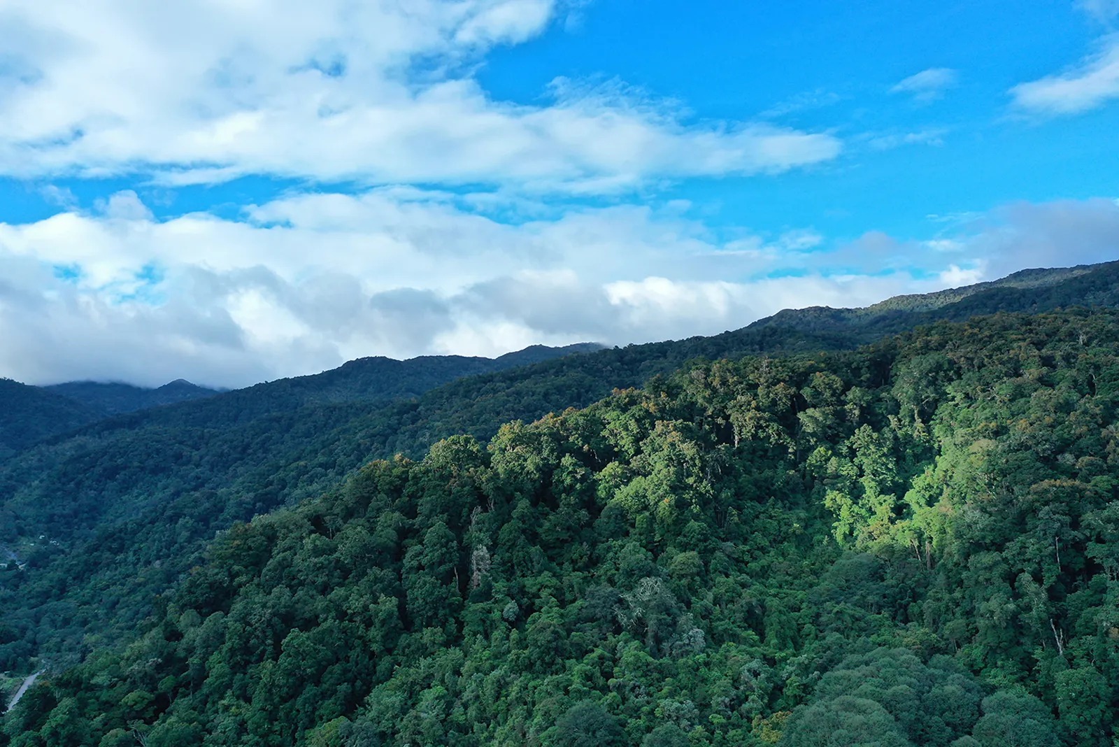
A cloud forest forms where mountain slopes are regularly wrapped in fog or low cloud. Moisture collects on leaves and branches, and epiphytes flourish: trunks are cloaked in moss, ferns, bromeliads and orchids. The air feels cool, and a bright morning can turn misty by noon.
Monteverde is the famous one. The Monteverde Cloud Forest Preserve protects more than 10,000 acres (about 4,100 hectares) and limits visitor numbers in each time slot; its guided natural history and night walks take no more than 10 people. Base yourself at Monteverde Lodge and Gardens, owned by Costa Rica Expeditions and about 15 minutes from the reserve, or browse our Arenal and Monteverde lodges. Our Monteverde guide compares the area’s reserves.
Other highland forests feel quite different. Los Quetzales National Park, created in 2006, ranges from 1,240 to 3,190 meters, with temperatures SINAC gives as 5 to 14 °C and oak trees draped in moss that capture cloud water. The Savegre valley below it is one of the country’s best places for quetzals. Savegre Mountain Hotel, run by the Chacón family, has trails on a private reserve, and smaller family-run cabins line the Savegre River. In Bajos del Toro, El Silencio Lodge spreads across about 500 acres of forest and waterfalls.
Seeing a quetzal through drifting cloud is part of the appeal, not an obstacle to a perfect photo. Ask your lodge which fruiting trees the birds are visiting that week.
Premontane and montane forest
Between the warm lowlands and the highest cloud forests lie forests whose character shifts with every few hundred meters. Species ranges often follow elevation, so a walk up a single slope can swap lowland birds for mountain specialists. Connected slopes, from lowland forest up to the ridgeline, let animals such as bellbirds and quetzals follow seasonal fruit up and down the mountains. That’s why conservation groups in Monteverde talk about altitudinal corridors.
Tapantí is the wettest example, and SINAC lists five life zones inside it, from very wet premontane forest to subalpine rain páramo. On the Caribbean slope near Turrialba, Rancho Naturalista is a 125-acre birding lodge in premontane forest, and our review notes more than 430 bird species recorded on the reserve.
Páramo and the highest elevations
Near the summits of the Talamanca range, the tropical forest gives way to páramo: windswept shrubland and grasses adapted to cold nights and strong sun. At Chirripó National Park, SINAC describes U-shaped valleys, moraines and lakes left by ancient glaciers. Entry is by advance online reservation only, the dry season runs December to April, and hikers should prepare for freezing temperatures and fast-changing weather.
Páramo is fragile and limited in area. Plants trampled off-trail recover slowly, so staying on designated routes matters more here than almost anywhere. Cerro de la Muerte, on the Inter-American Highway above the Dota valley, offers a gentler roadside introduction to the same high-elevation plant life.
Tropical dry forest
Guanacaste’s dry forest surprises visitors who expect evergreen jungle. In the dry season, many trees drop their leaves, streams shrink and the landscape opens up. When the rains return, the forest turns green in a matter of weeks.
Dry forest isn’t an impoverished version of rainforest. It’s a highly adapted ecosystem and one of the most threatened in the Americas. The IUCN’s World Heritage Outlook describes Área de Conservación Guanacaste, which includes Santa Rosa, as holding the largest, best-preserved and most representative sample of Neotropical dry forest, within a site of about 147,000 hectares that also reaches into cloud forest and the sea. The same assessment rated the site’s outlook as “significant concern” in 2025.
Leafless trees can make wildlife easier to spot, but the midday heat changes animal activity, so early walks are best. Buena Vista Lodge, a former cattle hacienda near Rincón de la Vieja National Park, is a practical base for exploring the transition from dry lowlands to wetter volcanic slopes.
Wetlands, rivers and mangroves
Freshwater wetlands are essential for waterbirds, fish, caimans and aquatic plants, and they change dramatically with the seasons. At Palo Verde, where seasonal marshes meet dry forest, SINAC records more than 280 bird species and protects Isla de Pájaros, home to the country’s largest colony of black-crowned night herons. Caño Negro, on the northern plains near the Nicaraguan border, is a classic boat-based birding wetland whose lagoons shrink in the dry months.
Tortuguero National Park is the wettest lowland example. SINAC gives its average rainfall as about 6,000 millimeters a year and lists 442 bird species, along with protected habitat for the West Indian manatee and the yolillal, a swamp forest dominated by raffia palm. The park is reached only by boat or small plane. Tortuga Lodge & Gardens, one of the area’s oldest lodges, sits on 146 acres beside the park. Our Tortuguero guide covers canal tours and access.
Mangroves occupy the places where land meets tidal water. Their roots trap sediment, shelter young fish and feed coastal food webs, and SINAC’s mapping puts them at only about 1 percent of the country, which makes every stand count. The Térraba-Sierpe wetlands in the south, the Gulf of Nicoya and the Tamarindo estuary are important examples. On the Nicoya Peninsula, Lagarta Lodge sits beside a 90-acre private preserve whose trails reach mangroves and forest along the Nosara River. A quiet kayak or slow boat is the best way in; speed and noise disturb wildlife.
Beaches, coral reefs and the coastal forest
Beaches are moving habitats, shaped by waves, sediment and season. Some sandy shores are critical turtle nesting sites that look empty by day and come alive at night. Artificial light, vehicles and uncontrolled foot traffic can disrupt nesting, and each protected beach has its own rules. Our sea turtle nesting guide explains the seasons and how to join an authorized tour.
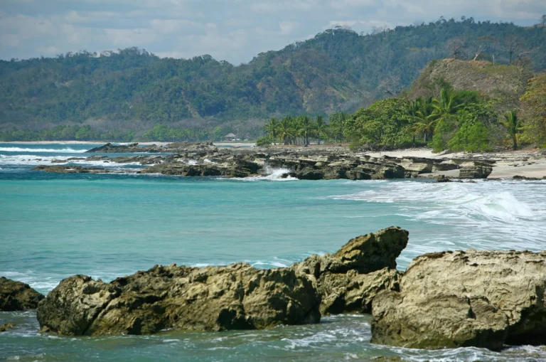
Costa Rica’s marine habitats aren’t one uniform turquoise reef. The Pacific has rocky reefs, volcanic islands and rich open water; the Caribbean has true coral reefs. At Cahuita National Park, about 600 of the park’s 22,400 marine hectares protect what SINAC calls the most developed coral reef on the Caribbean coast, with designated snorkeling zones and community guides accredited by the tourism institute. Cabinas Caribe Luna is within walking distance of the park entrance in Cahuita village. On the southern Pacific, Mar y Selva overlooks Marino Ballena National Park and is close to the Sierpe mangroves. See our marine life guide for whales, dolphins and reefs.
Coral is sensitive to warming, sediment and careless fins. Snorkel only where it’s permitted, use a local guide and never stand on the reef.
Secondary forest and regeneration
Not every forest here is ancient. On SINAC’s 2021 map, secondary forest covers about as much of the country as mature forest, much of it regrowing on old pasture. Pioneer trees shade out grass, birds and bats carry in seeds, and over decades the canopy grows taller and more complex.
Regrowth still supports monkeys, birds, insects and pollinators, protects streams and links older reserves. The difference from old growth matters scientifically, but there’s no reason to dismiss a healthy regenerating forest as inauthentic. Watching recovery in progress is one of the most instructive things a visitor can do here. Ask a lodge how long its land has been recovering and what’s come back. Our conservation story explains how that recovery happened.
Choosing a lodge, and a season, by ecosystem
If you want large lowland mammals, focus on the Osa and other extensive rainforest. For quetzals and cool, misty trails, choose Monteverde or the Dota highlands. For seasonal dry forest, look at Santa Rosa, Rincón de la Vieja and Palo Verde. For wetlands, consider Tortuguero, Caño Negro and Palo Verde. For reefs and whales, pick the coast and month to match your goal. Our national parks guide links each habitat to practical destinations.
Ask whether a lodge’s trails actually enter the habitat you care about. A forest-view balcony is pleasant, but guided interpretation and protected land matter more for serious nature travel.
There’s no single perfect month for every habitat. In much of the Pacific northwest, SINAC describes a dry season from December to April and rain from May to November, while the Caribbean follows its own pattern and cloud forests can be misty in any month. A local guide who knows when certain trees fruit or wetlands fill will usually give better advice than a generic chart. A wet day isn’t wasted, either: rain brings out frogs and fills the forest with sound. It also brings real hazards, such as slippery trails and rising rivers.
Frequently asked questions
What's the difference between rainforest and cloud forest?
Lowland rainforest is warm and humid, often below a few hundred meters, with towering canopy trees. Cloud forest grows higher on mountain slopes where fog and low cloud are frequent, so it's cooler and loaded with mosses, bromeliads and orchids. Wildlife differs too: quetzals belong to the highlands, while many monkeys and macaws are lowland animals.
Is Guanacaste a rainforest?
Mostly not. Much of lowland Guanacaste is tropical dry forest, which loses many of its leaves during a long dry season. The province also has wetter forest on its volcanic slopes, so a trip to Rincón de la Vieja can take you through both.
How many life zones does Costa Rica have?
Ecologists using the Holdridge system recognize twelve life zones in Costa Rica, from dry tropical forest to subalpine rain páramo. Several often occur on a single mountain, which is why short drives can feel like big climate changes.
Where can I see mangroves?
Térraba-Sierpe in the south, the Gulf of Nicoya, the Tamarindo estuary at Las Baulas, the Nosara river mouth and several Caribbean lagoons are good places to start. Go with a local guide by kayak or small boat, and avoid tours that race through the channels.
Are secondary forests valuable?
Yes. They protect soil and water, provide habitat and connect larger reserves. On SINAC's latest national map, secondary forest covers almost as much ground as mature forest, so it's a major part of the country's wildlife habitat.
Can one trip include several ecosystems?
Yes. Arenal plus Monteverde pairs lowland and cloud forest; an Osa trip can add mangroves and marine life; the Dota valley and Chirripó cover cloud forest and páramo. Allow at least two or three nights in each area so you're experiencing habitats, not just driving between them.